


The text is from here.
hazard map in Aoba Ward
Last updated on March 26, 2025.
Aoba Residents' Disaster Prevention Required
In addition to maps that allow you to check the refuge (evacuation shelter) and evacuation area during the earthquake disaster, useful information such as flood and inland water hazard map, evacuation behavior, stockpiling, and information collection methods are also posted.
- Cover, disaster prevention map at the time of earthquake (PDF: 6,662KB)
- Information (PDF: 4,265KB)
- Flood hazard map (PDF: 8,212KB)
- Inland water hazard map (PDF: 7,831KB)
landslide hazard map
landslide hazard map is a map document that shows the landslide warning area designated by the prefecture on a map and serves as a reference for evacuation.
○landslide hazard map
※If you would like to see the map with a larger scale, please use the "Wai Wai Disaster Prevention Map (Administrative Map Information Providing System)". (External site)
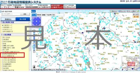
The Wai Wai Disaster Prevention Map allows you to expand the scale and check the map, as well as browse various disaster prevention informations.
"Wai Wai disaster prevention map" (we link to Yokohama-shi administrative map reporting system.) (External site)
You may need a separate PDF reader to open a PDF file.
If you do not have it, you can download it free of charge from Adobe.
![]() To download Adobe Acrobat Reader DC
To download Adobe Acrobat Reader DC
Inquiries to this page
Aoba Ward General Affairs Department General Affairs Division
Phone: 045-978-2211
Phone: 045-978-2211
Fax: 045-978-2410
E-Mail address [email protected]
Page ID: 695-693-794


